PinShot - GPS Camera
Project Overview
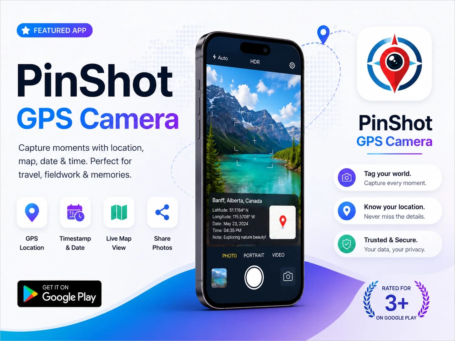
PinShot – GPS Camera is a smart Android photography application designed to capture photos with live GPS location, map coordinates, date, and timestamp overlays. This project focused on building a modern and easy-to-use camera app for travelers, field workers, delivery services, and users who want accurate location-based photo documentation.
The app combines photography with real-time geo-tagging technology, allowing users to capture meaningful memories and work-related proof directly within the camera interface. With a clean UI, fast performance, and location tracking features, PinShot delivers a seamless and reliable photography experience.
Challenges
- Integrating accurate GPS and map location services
- Displaying real-time location and timestamp overlays
- Maintaining fast camera performance and responsiveness
- Creating a clean and user-friendly camera interface
- Optimizing battery and location usage
- Supporting different Android device resolutions
Development Strategy Implemented
- Real-time GPS and map integration
- Date, time, and geo-tag photo overlays
- Responsive Android camera UI/UX design
- High-performance image processing optimization
- Easy photo sharing and export functionality
- Lightweight and scalable application architecture
- Location permission and secure data handling
- Travel and fieldwork-focused usability improvements
Results
This PinShot project successfully delivered a modern GPS-enabled camera solution with smart geo-tagging and timestamp features. Through optimized performance, responsive UI design, and accurate location integration, the application improved photo documentation, travel memory tracking, and fieldwork efficiency for users.